UN
4 Maes Teg
£ 142,000
Description
We don't have a Description for this property.
- Bedrooms
- 3
- Bathrooms
- 0
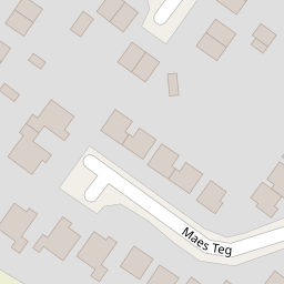
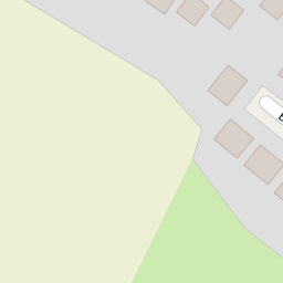
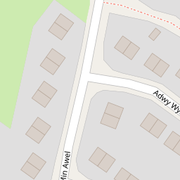

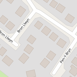

Leaflet © OpenStreetMap contributors
The heatmap indicates the level of crime in the area. The color of the heatmap indicates the crime severity and recency.
Metrics Year-on-Year
- Average area value
- 312,744.00 £Increased by 45.65 %
- Average area rental value
- 1,124.00 £/moIncreased by 8.81 %
- Est rental Yield
- 4.31 %Decreased by 25.30 %
- Crime Rate
- 1.00 %Unchanged by 0.00 %
from 214,716.00 £
from 1,033.00 £/mo
from 5.77 %
from 1.00 %
Nearby Schools
| Name | Type | Ofsted | Distance |
|---|---|---|---|
| Flint High School | Welsh Establishment | 0.49 KM | |
| St Mary'S R.C. Primary School | Welsh Establishment | 0.69 KM | |
| St Richard Gwyn Roman Catholic High School | Welsh Establishment | 0.73 KM | |
| Gwynedd C.P. School | Welsh Establishment | 0.91 KM | |
| Ysgol Gymraeg Croes Atti | Welsh Establishment | 1.24 KM |
Images
Nearby Streets
| Name | Average Price | Average Sqft | Distance |
|---|---|---|---|
| Trelawny Avenue | £ 0 | 0 | 0.00 KM |
| Hillside Way | £ 220,000 | 0 | 0.00 KM |
| Llwyn Onn Lane | £ 1,250,000 | 0 | 0.00 KM |
| Clos Y Fferm | £ 650,000 | 0 | 0.00 KM |
| Swan Street | £ 0 | 0 | 0.00 KM |
Nearby Transport
| Name | NLC | TLC | Distance |
|---|---|---|---|
| Flint | 2513 | FLN | 1.42 KM |
| Neston | 2139 | NES | 9.86 KM |
Nearby Listings
| Address | Price | Type | Score | Distance |
|---|---|---|---|---|
| Tudor Avenue, Flint | £ 175,000 | BUY | Unknown | 0.14 KM |
| Min Awel, Flint, CH6 | £ 160,000 | BUY | Unknown | 0.26 KM |
| Min Awel, Flint, CH6 | £ 150,000 | BUY | 5 / 10 | 0.26 KM |
| Pwll Y Hwyaden, Flint | £ 285,000 | BUY | 6 / 10 | 0.32 KM |
| Min Awel, Flint, CH6 | £ 240,000 | BUY | 7 / 10 | 0.38 KM |
Nearby Properties
| Address | Price | Distance |
|---|---|---|
| 5 Maes Teg | £ 197,750 | 0.00 KM |
| 2 Maes Teg | £ 140,000 | 0.00 KM |
| 4 Maes Teg | £ 142,000 | 0.00 KM |
| 1 Maes Teg | £ 195,000 | 0.00 KM |
| 27 Tudor Avenue | £ 84,000 | 0.09 KM |